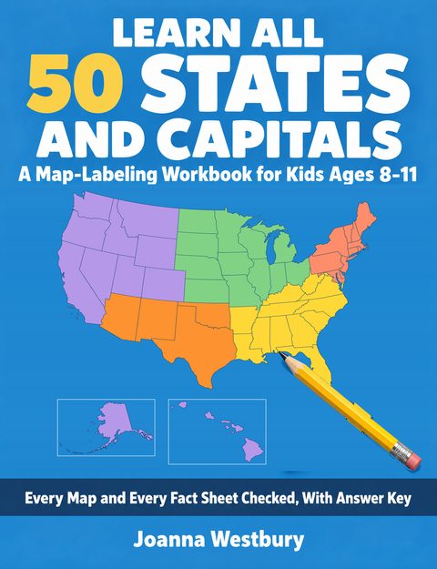
Learn All 50 States and Capitals
A Map-Labeling Workbook for Kids Ages 8–11 — Every Map and Every Fact Sheet Checked, With Answer Key
by Joanna Westbury
- Formats
- Paperback
- Paperback size
- 8.5 × 11 in
- Published
- September 2026
A states-and-capitals workbook should never teach a child a wrong map. Every map in this one was drawn by a program from US Census Bureau boundary files, not by hand.
This book is for a child of 8 to 11 who is learning the fifty states and their capitals. It is written in words a third to fifth grader can read, with an adult nearby to mark the answers. The book is built so that a child who works through it can, by the last page, place all fifty states on a blank map and name every capital. It tests this itself, twice: the same test at the start and at the end, with two score pages to set side by side.
Your child works in pencil, one sitting at a time: the whole book is 47 sittings. For a capitals test on a date, a shorter path of 16 to 24 sittings goes to the states your child missed on the Start Test first.
What's inside:
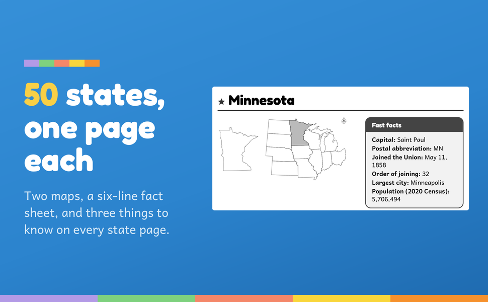
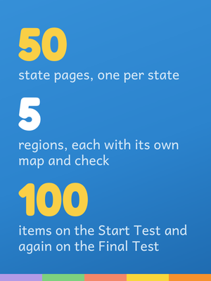
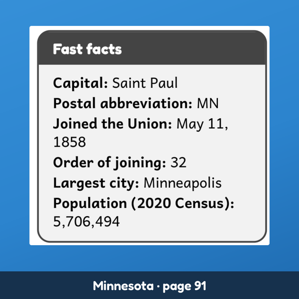
- All 50 states, one full page each. Every state page has two maps, a six-line fact sheet (capital, postal abbreviation, the day it joined the Union, its order of joining, largest city, 2020 Census population), one line saying whether the capital is also the largest city, and three more things to know.
- Where the state is, not only its name. The second map on every state page shows the state in the whole country, so your child learns its place beside its neighbors.
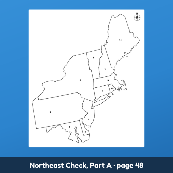
- Blank maps to label. Five regions, each opening with its own map and a short story, and each ending with a check in four parts: place the states on a numbered map, match each state to its capital, write the capitals, unscramble some of them.
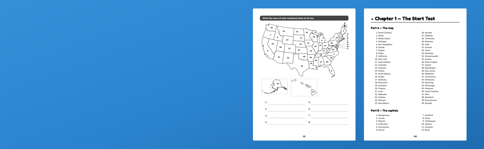
- A Start Test and a Final Test. The same 100 items both times: 50 states on a numbered map of the country, 50 capitals to write. Chapter 7 practices on a different numbering, so your child learns places, not numbers.
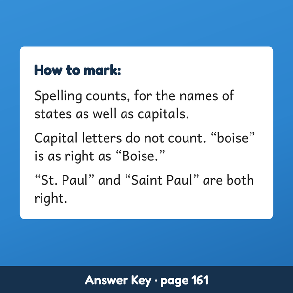
- An answer key for the grown-up. Every answer in book order, headed by chapter and exercise, with the marking rule spelled out: spelling counts, capital letters do not, and "St. Paul" and "Saint Paul" are both right.
- How the facts were checked, said plainly. A program checked every line of every fact sheet against the book's table of state facts, and each column of that table names its source. A program rebuilt every exercise and every answer-key line from the same table. The region stories and "Three things to know" were read against their sources by a reader, not by a program. A page at the back names every source.
- At the back: "Say it, spell it" with sixteen capitals worth saying aloud, a map of your child's own, and a certificate.
- Room to write. 8.5 x 11 inches, black ink, so the region maps can be colored in. You may photocopy the blank and numbered maps for your own children or for one classroom.
What it is not. No map in this book marks the capitals: children learn each capital by name, on its state page, so a school test that asks them to mark capitals on a map will need an atlas as well. Postal abbreviations are on every fact sheet, but no exercise asks for them. The five regions follow National Geographic Education's map; if your child's school groups a state differently, the state page is the same.
Start with the Start Test and a pencil. The blank lines are the "before."
Inside the book
More from RIMAR
All books Large Print Cryptograms for Seniors
Lorraine Haskett
Paperback · Oct 2026
Large Print Cryptograms for Seniors
Lorraine Haskett
Paperback · Oct 2026
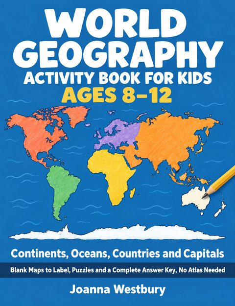 World Geography Activity Book for Kids Ages 8–12
Joanna Westbury
Paperback · Oct 2026
World Geography Activity Book for Kids Ages 8–12
Joanna Westbury
Paperback · Oct 2026
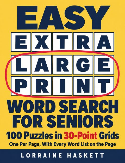 Easy Extra Large Print Word Search for Seniors
Lorraine Haskett
Paperback · Oct 2026
Easy Extra Large Print Word Search for Seniors
Lorraine Haskett
Paperback · Oct 2026
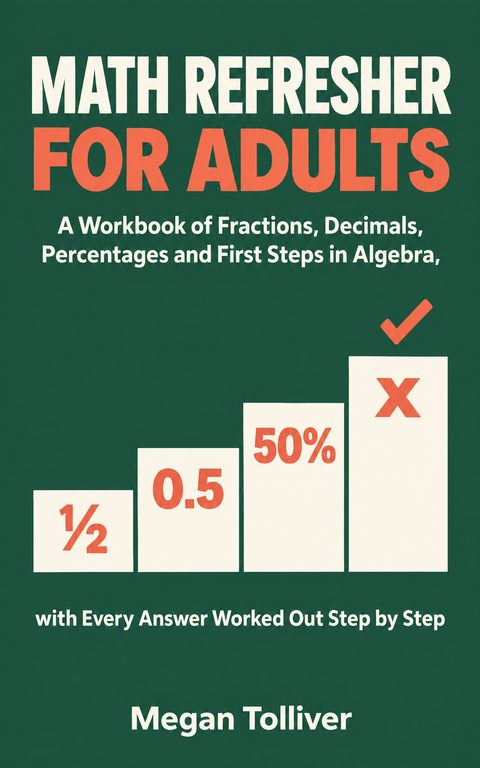 Math Refresher for Adults
Megan Tolliver
Paperback · Kindle · Sep 2026
Math Refresher for Adults
Megan Tolliver
Paperback · Kindle · Sep 2026