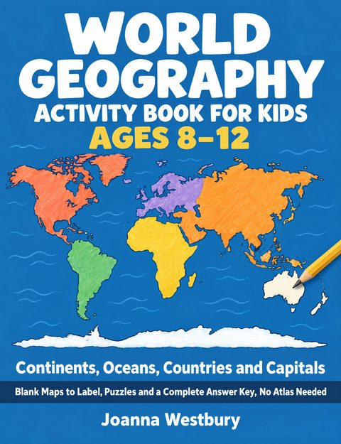
World Geography Activity Book for Kids Ages 8–12
Continents, Oceans, Countries and Capitals — Blank Maps to Label, Puzzles and a Complete Answer Key, No Atlas Needed
by Joanna Westbury
- Formats
- Paperback
- Paperback size
- 8.5 × 11 in
- Published
- October 2026
Every answer is in this book, so your child does not need an atlas. Every map was drawn by a program from Natural Earth border data, not by hand.
This book is for a child of 8 to 12 who is learning the continents, the oceans and the countries of the world. It is written in words that a child in third to sixth grade can read, with a grown-up nearby to mark the answers. By the last page, your child can place the seven continents and the five oceans on a blank map, place 30 major countries on the maps of their continents, and name their capitals.
Your child works in pencil, one page a day: the whole book takes at least 91 days. For a school unit on one continent, do chapter 2 and that continent's chapter: South America takes at least 12 days.
What's inside:
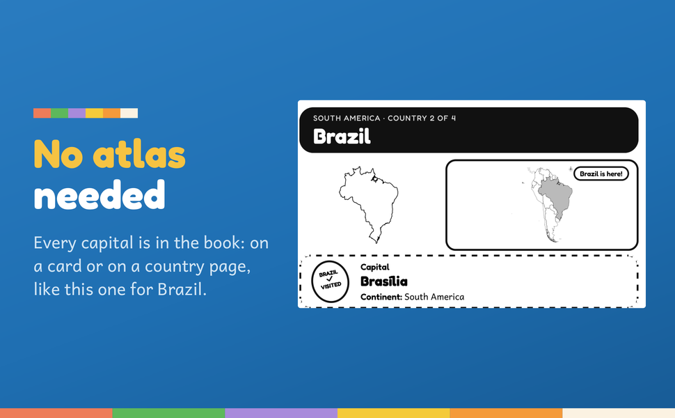
- No atlas needed. Each capital is on a card or a country page, and each region page lists in words where its countries are.
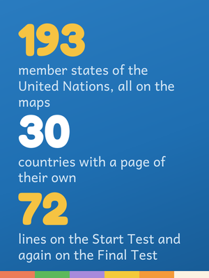
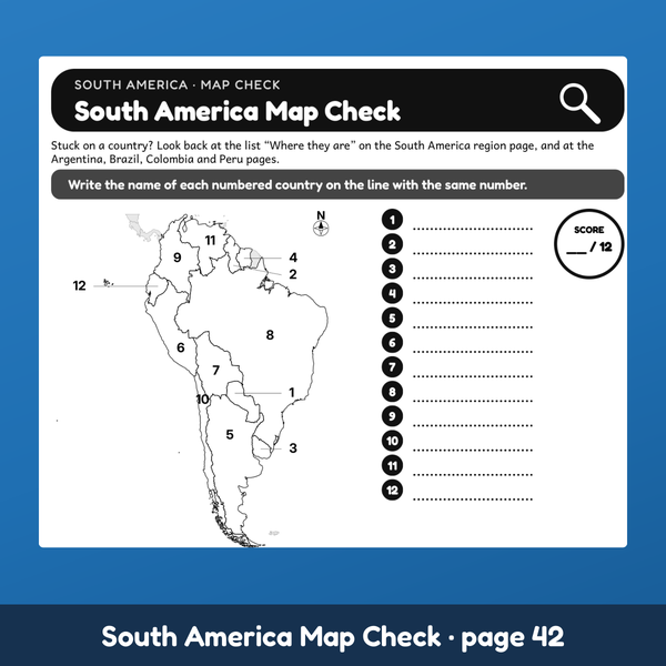
- All 193 member states of the United Nations, as of September 30, 2026. Every one is on the maps, with its capital on a card or a country page. 18 region pages, each with its map; 18 map checks on numbered maps; a capitals check at the end of each of the six continent chapters.
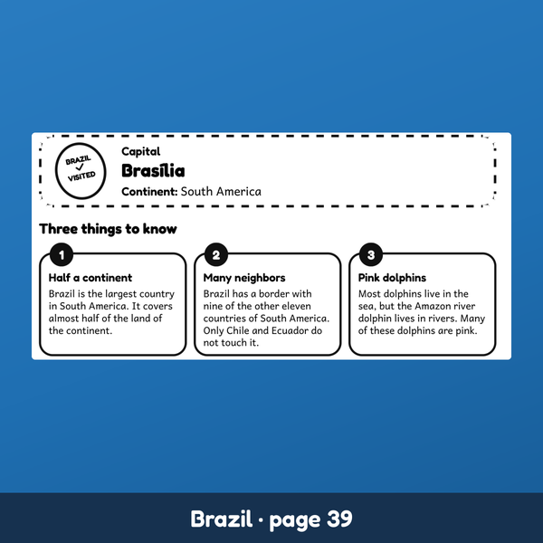
- 30 countries with a page of their own. Two maps (the country alone, and the country in its continent), a box with its capital, continent and region, and three things to know.
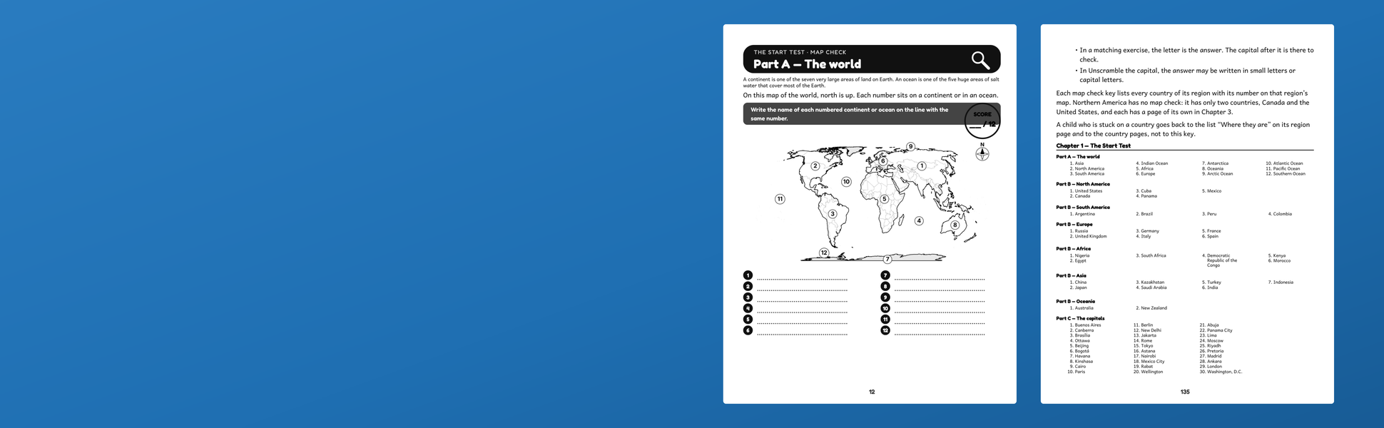
- A Start Test and a Final Test. The same 72 lines both times: 12 continents and oceans on a numbered world map, 30 countries on the continent maps, 30 capitals to write. Your child compares the two tests line by line.
- The world first, then practice. Chapter 2 covers the seven continents, the five oceans, how to read the maps and Antarctica. Chapter 9 is five rounds of mixed practice before the Final Test.
- How the facts were checked, said plainly. A program checks every fact-sheet line (country, capital, continent, region) against the book's table of countries, and each column of that table names its source. A program compared the capitals in that table with the file downloaded from the source, line by line. A program builds every activity and every answer from that table, and checks every number on every numbered map against it. The stories and "Three things to know" were read against their sources by a reader, not by a program.
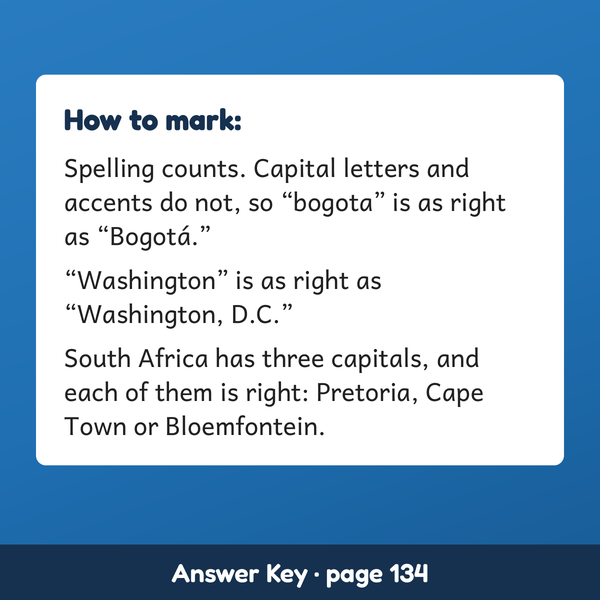
- An answer key for the grown-up. Every answer in book order, with the marking rules spelled out: spelling counts, accents and capital letters do not, and any of South Africa's three capitals is right.
- At the back: where every fact comes from, a world map of your child's own to color, and a certificate with the before and after scores.
- Room to write. 8.5 x 11 inches, black ink, region maps to color in. You may photocopy the blank and numbered maps for your own children or for one classroom.
What it is not. No flags and no capitals on the maps: inside the cover the book is printed in black ink, its only pictures are maps, and your child learns each capital by its name. The tests ask about the 30 countries with a page of their own, not about the other 163. The book uses common English names: Ivory Coast, Cape Verde, Czech Republic and Turkey.
Start with the Start Test and a pencil. The blank lines are the "before."
Inside the book